Want to boost your surveying business without ditching everything you’ve learned?
Here’s the problem:
Most surveying companies think they have to choose between traditional methods and drone technology. They’re wrong.
The smart money is on integration. Combining both approaches gives you the best of both worlds.
And here’s the kicker…
You don’t need to throw away decades of expertise. You just need to amplify it.
What you’ll learn:
- Why Smart Surveyors Choose Integration Over Replacement
- The Proven Hybrid Strategy That’s Winning Big
- Game-Changing Benefits You Can’t Afford to Miss
- Success Stories That’ll Make You Want to Start Today
Why Smart Surveyors Choose Integration Over Replacement
Look, traditional surveying isn’t dead.
Your total station still has a place in modern surveying. Ground control points are still essential. Legal boundaries still require precision.
But here’s what most people don’t realize…
Drones for surveying and mapping aren’t here to replace traditional methods. They’re here to make them better.
Think about it this way. Your traditional equipment gives you legal accuracy and proven reliability. Drones give you speed, safety, and coverage that was impossible before.
Why choose one when you can have both?
The numbers don’t lie. The global market is projected to reach $8.06 billion by 2033, growing at a massive 19.3% annual rate.
That’s not just growth. That’s a complete transformation of the industry.
The Proven Hybrid Strategy That’s Winning Big
Ready to see how the top surveying firms are crushing their competition?
They’re not going all-in on one technology. They’re strategically combining both for maximum impact.
Here’s exactly how it works…
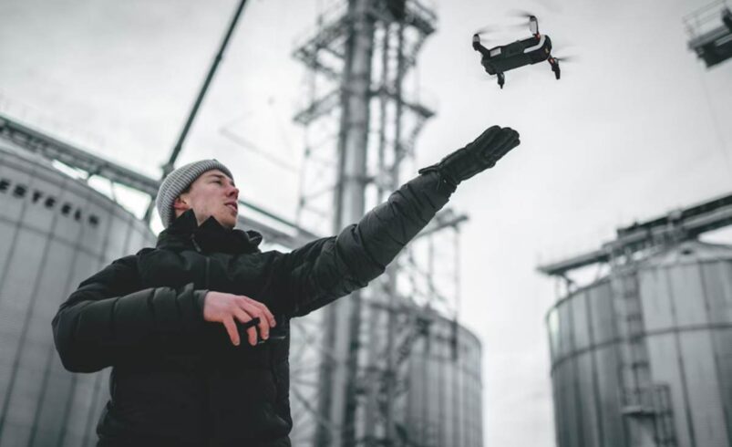
Step 1: Start Every Project With Drone Reconnaissance
Begin with a drone overview. Get the full picture before you set foot on site.
This approach delivers:
- Complete site coverage in minutes
- Early identification of potential issues
- Detailed base mapping for planning
- Massive time savings on ground reconnaissance
Traditional methods would take days to achieve what drones capture in 30 minutes.
But don’t stop there.
Step 2: Deploy Traditional Methods for Critical Measurements
This is where your expertise becomes invaluable.
Use your traditional equipment for boundary markers, legal survey points, and areas requiring absolute precision. Commercial-grade survey drones deliver accuracy within 0.5cm – 2cm, which is impressive.
But sometimes you need that extra level of certainty.
That’s where traditional surveying shines.
Step 3: Merge Data for Unbeatable Results
Here’s where the magic happens.
Combine drone data with traditional survey points using modern software. You get drone speed and coverage with traditional precision and legal compliance.
The result?
A hybrid approach that’s more powerful than either method alone.
Game-Changing Benefits You Can’t Afford to Miss
Let’s break down exactly what this hybrid strategy delivers…
Massive Productivity Gains
Drone surveying can be up to 90% faster than manual methods.
That’s not a typo.
One mining company cut their stockpile measurement time from 7 hours to 35 minutes. Same accuracy, fraction of the time.
Think about what you could accomplish with those extra hours.
Enhanced Safety Standards
Traditional surveying puts crews in dangerous situations. Steep slopes, active construction sites, unstable terrain…
Drones eliminate most of these risks.
Your team stays safe while the drone handles the hazardous work. No more sending surveyors into dangerous areas. No more accidents on steep hillsides or busy construction sites.
Superior Client Experience
Clients love aerial perspectives of their projects. Drone footage and 3D models make presentations incredibly compelling.
But here’s the real advantage…
Faster delivery times mean happier clients and more referrals.
Competitive Differentiation
While competitors stick to old methods, you’re offering something unique.
The combination of speed, safety, and accuracy that only hybrid surveying provides.
That’s a competitive advantage worth having.
Success Stories That’ll Make You Want to Start Today
Ready for some proof that this stuff actually works?
The Idaho Forest Success Story
Idaho Forest Group processes 2.5 million cubic meters of wood annually. Their traditional stockpile surveys took 7 hours each time.
After implementing drone integration?
Same job completed in 35 minutes. That’s 80% faster with centimeter-level accuracy.
The cost savings paid for their drone equipment in just a few months.
Construction Site Transformation
A major construction firm was spending weeks surveying large sites using only traditional methods.
With hybrid surveying?
Initial surveys now take days instead of weeks. Traditional methods handle precise legal work while drones cover everything else.
The result? Faster project starts, happier clients, and higher profits.
Mining Operations Revolution
Mining companies adopted this approach because safety is everything.
Traditional pit surveying put workers at risk. Now drones handle dangerous surveys while traditional methods verify critical measurements.
The outcome? Zero accidents, better data, and massive time savings.
Getting Started With Integration
Ready to transform your surveying operations?
Follow this proven roadmap…
Phase 1: Equipment and Training Investment
Don’t cut corners on equipment. Professional-grade survey drones with RTK capabilities are essential.
Invest in proper training. Technology is only as good as the people using it.
Start with basic certification courses and advance to photogrammetry techniques.
Phase 2: Workflow Development
Create standard procedures for when to use each method.
Proven workflow example:
- Drone survey for complete site overview
- Traditional survey for precise boundary points
- Drone data for volume calculations
- Traditional verification for legal requirements
Phase 3: Software Integration
Use software that seamlessly combines data from both sources.
Programs like Pix4D, DroneDeploy, and similar platforms make integration straightforward.
Phase 4: Client Education
Demonstrate benefits through live presentations.
Nothing sells like showing clients a 3D model of their site generated from drone data.
The Future Belongs to Hybrid Approaches
Mapping and surveying remains the top drone application, capturing 29% of internal business services and 35% of service provider operations.
The smart money isn’t betting on replacement.
It’s betting on the powerful combination of both technologies.
Traditional surveying expertise isn’t becoming obsolete. It’s becoming more valuable when combined with drone technology.
The surveying industry is changing rapidly. Companies that adapt will dominate. Those that don’t will struggle to compete.
Making Integration Work
Integration isn’t about buying a drone and hoping for the best.
Success requires:
- Comprehensive training on both technologies
- Clear workflows for different scenarios
- Quality control procedures
- Effective client communication strategies
- Regular equipment maintenance
But when you get it right?
The results speak for themselves. Faster surveys, safer operations, happier clients, and bigger profits.
That’s what integration delivers.
Wrapping It Up
Integrating drone surveys into traditional surveying practices isn’t about choosing sides.
It’s about using the best tool for each part of the job. Drones for speed, coverage, and safety. Traditional methods for precision, legal compliance, and verification.
Together, they create something more powerful than either approach alone.
The surveying companies winning big right now aren’t going all-drone or staying all-traditional.
They’re smart enough to use both.
The technology is here. The market is growing. Clients are ready.
Time to give them something they can’t get anywhere else.